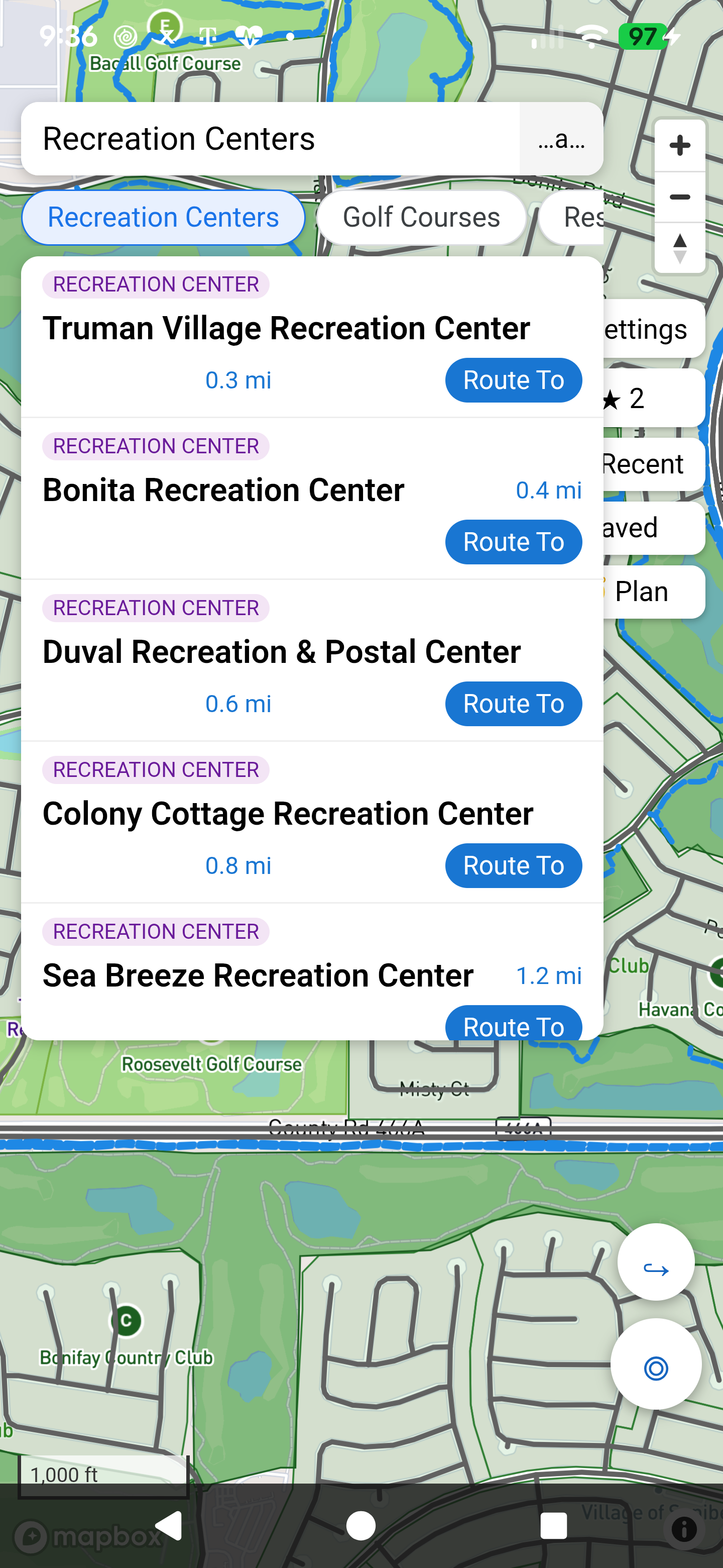
Recreation Centers
Regional, village and neighborhood centers – find them all and go.
Villages Pathfinder transforms publicly accessible geographic information into a navigation experience purpose-built for life in The Villages.
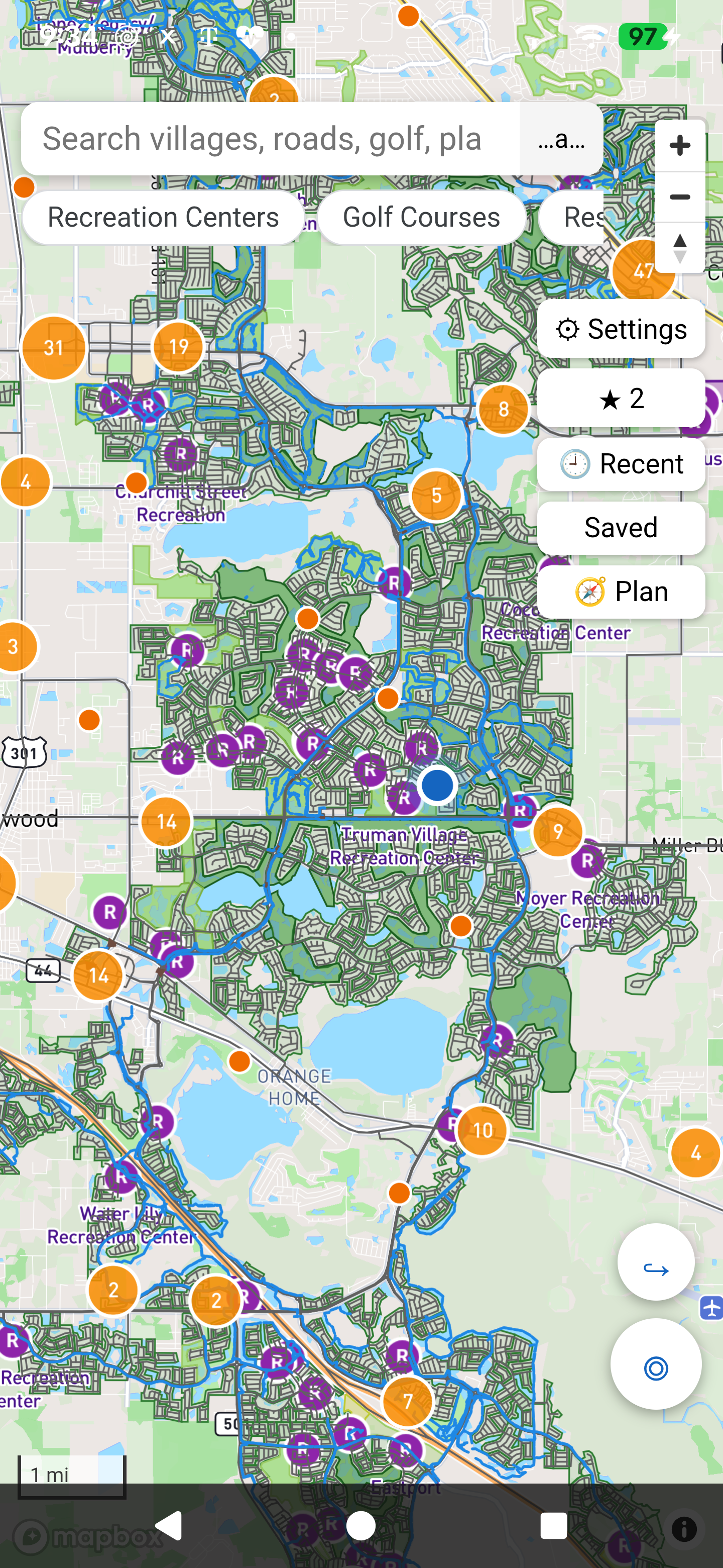
Every visible path was harvested from publicly accessible GIS data and transformed into a navigable cart-path network.
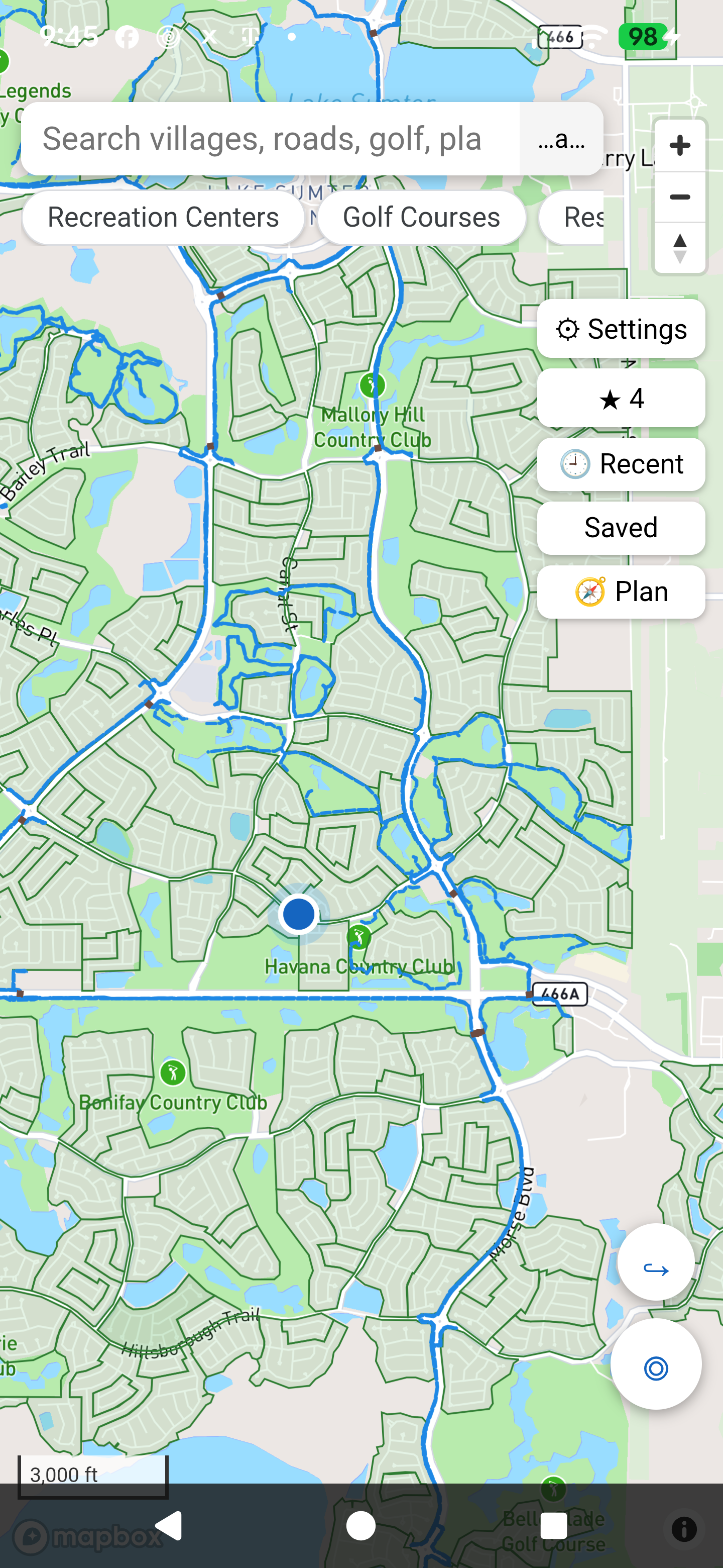
Villages Pathfinder understands both road and golf-cart connectivity.
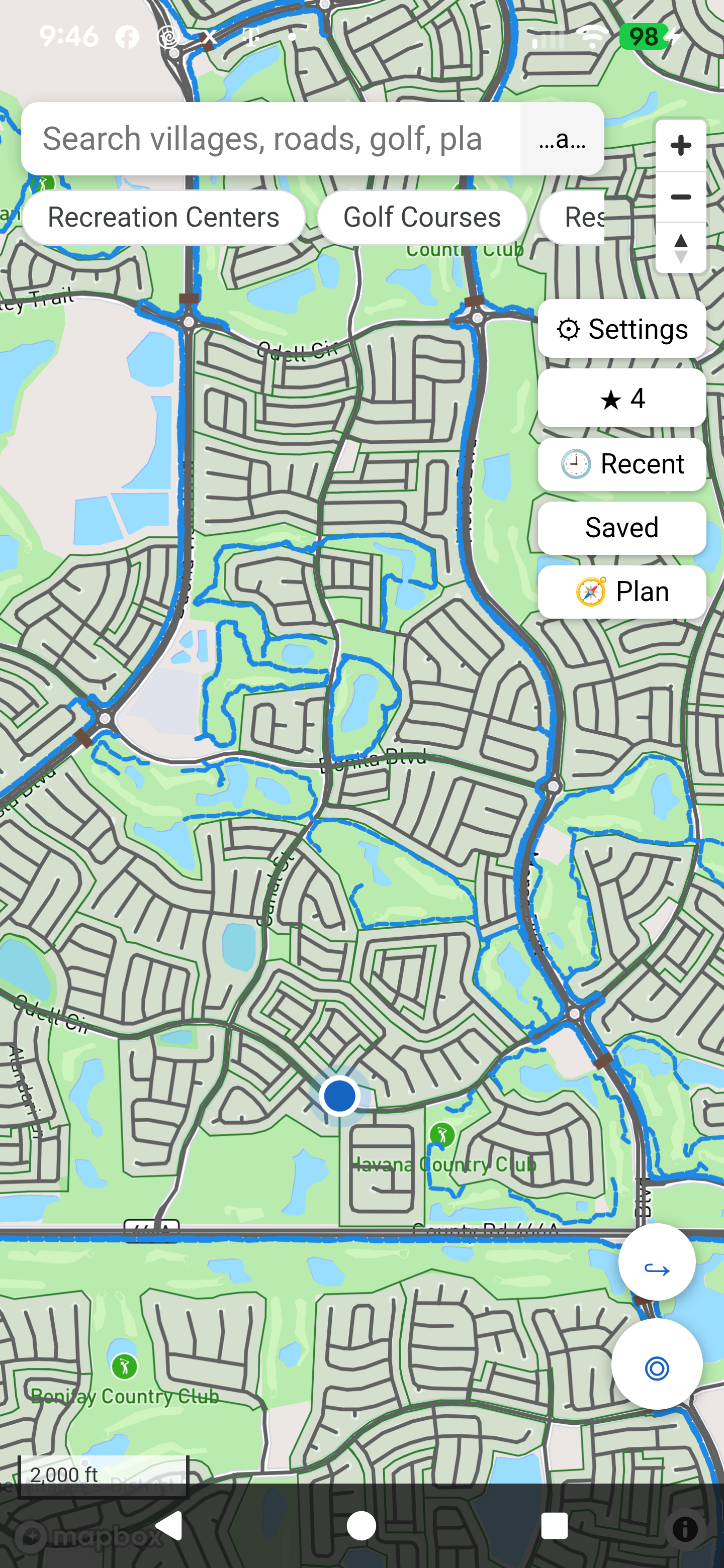
In The Villages, cart paths and roads work together – sometimes running side by side, sometimes briefly merging, and often crossing through tunnels and gates. Pathfinder knows where a cart can legally and comfortably travel, and where a car belongs.
Regional, village and neighborhood centers – find them all and go.
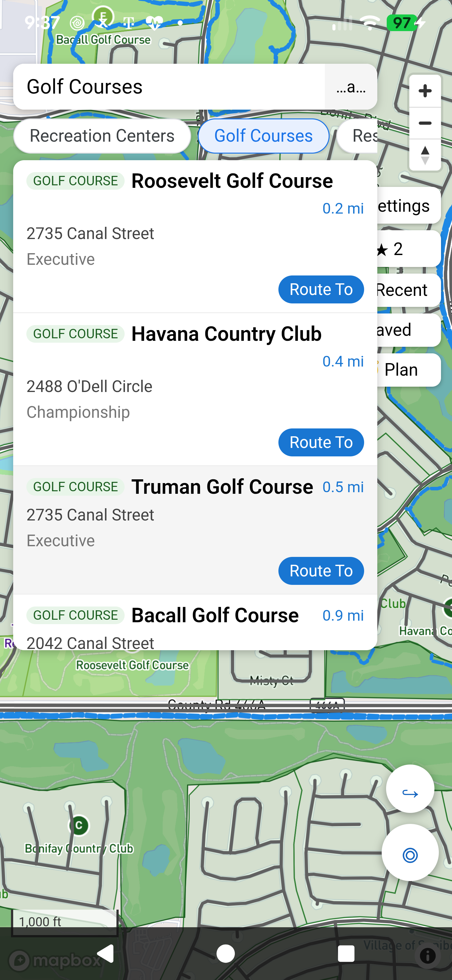
Championship and executive courses, ready for your next tee time.
Village boundaries help you understand exactly where you are.
Cart gates are part of the network, so your route goes where carts actually can.
Golf-cart tunnels are a core part of every cart route – cross busy roads safely.
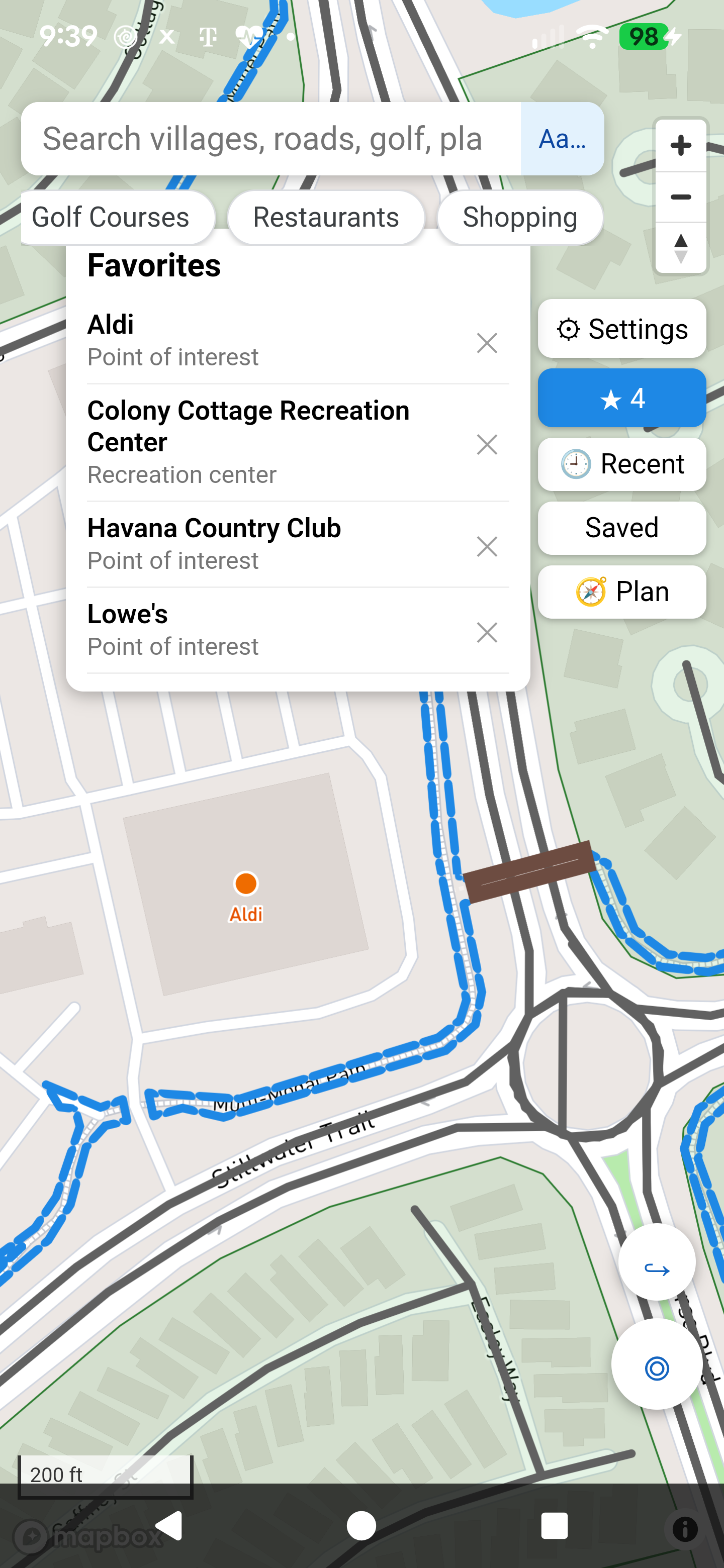
Town squares, shopping, dining and more across The Villages.